Proprietary content
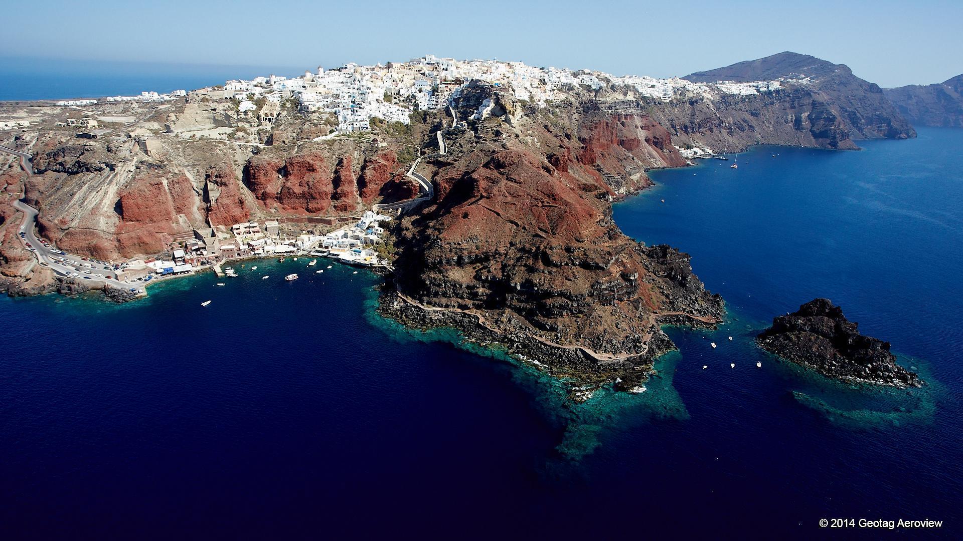
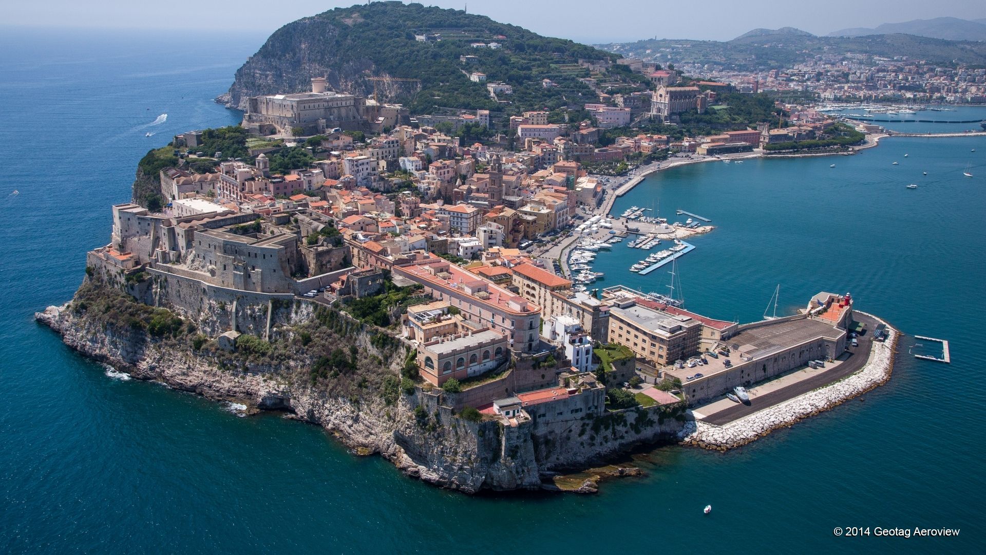
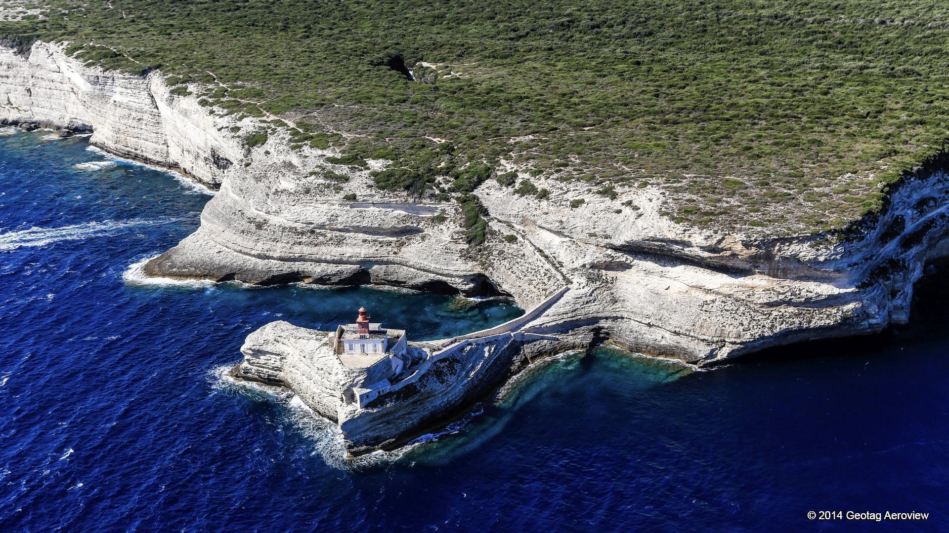
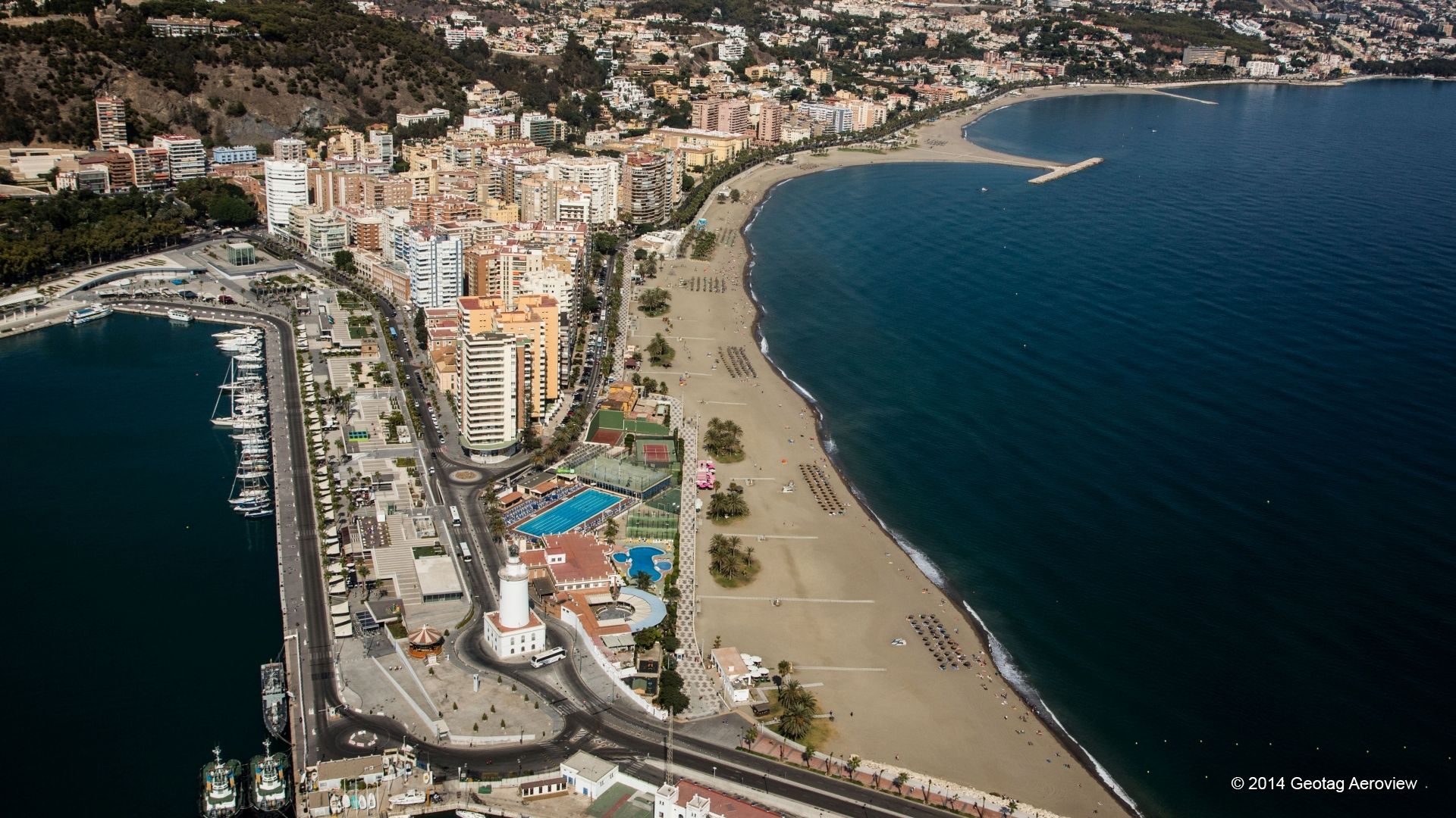
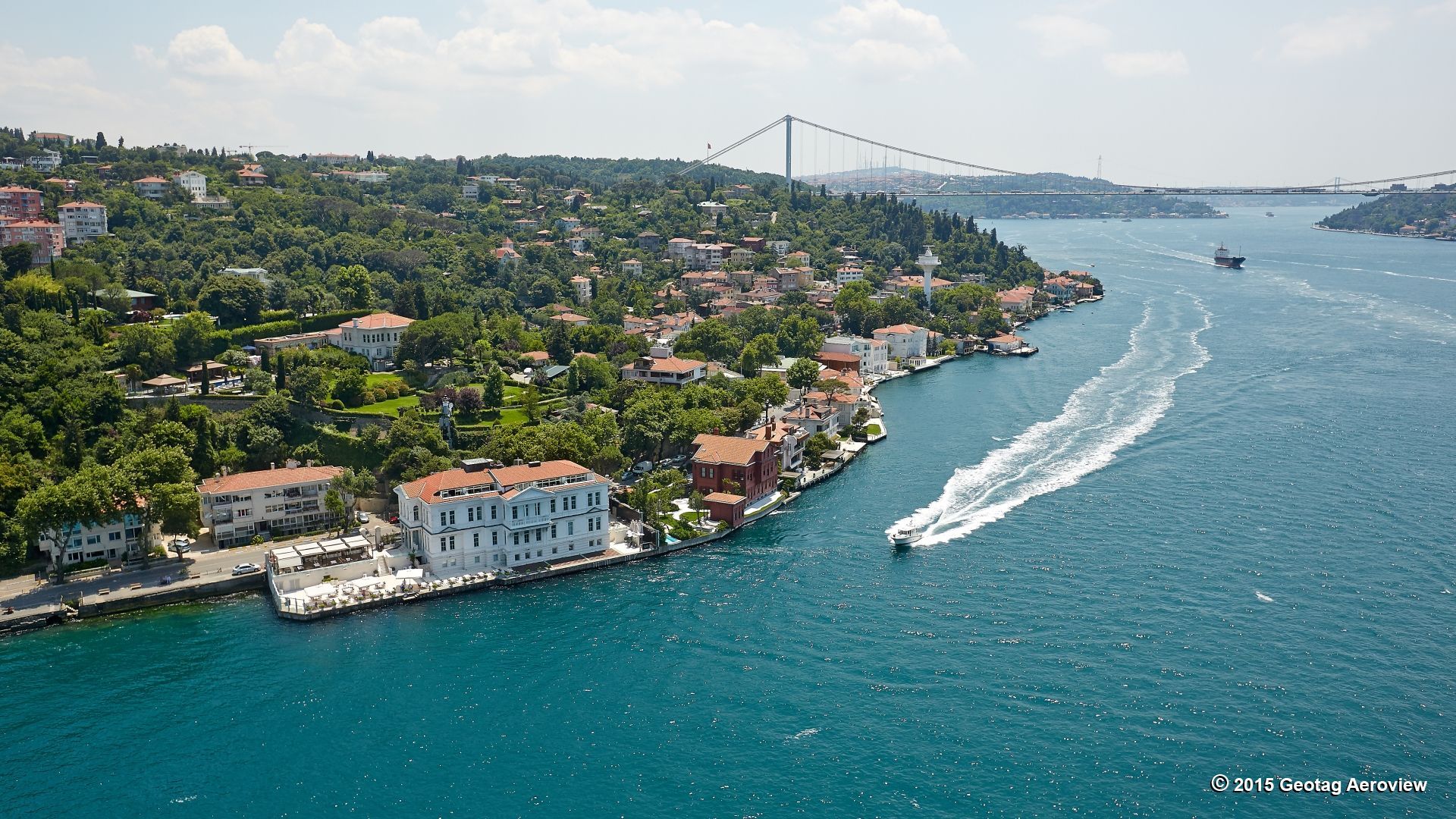
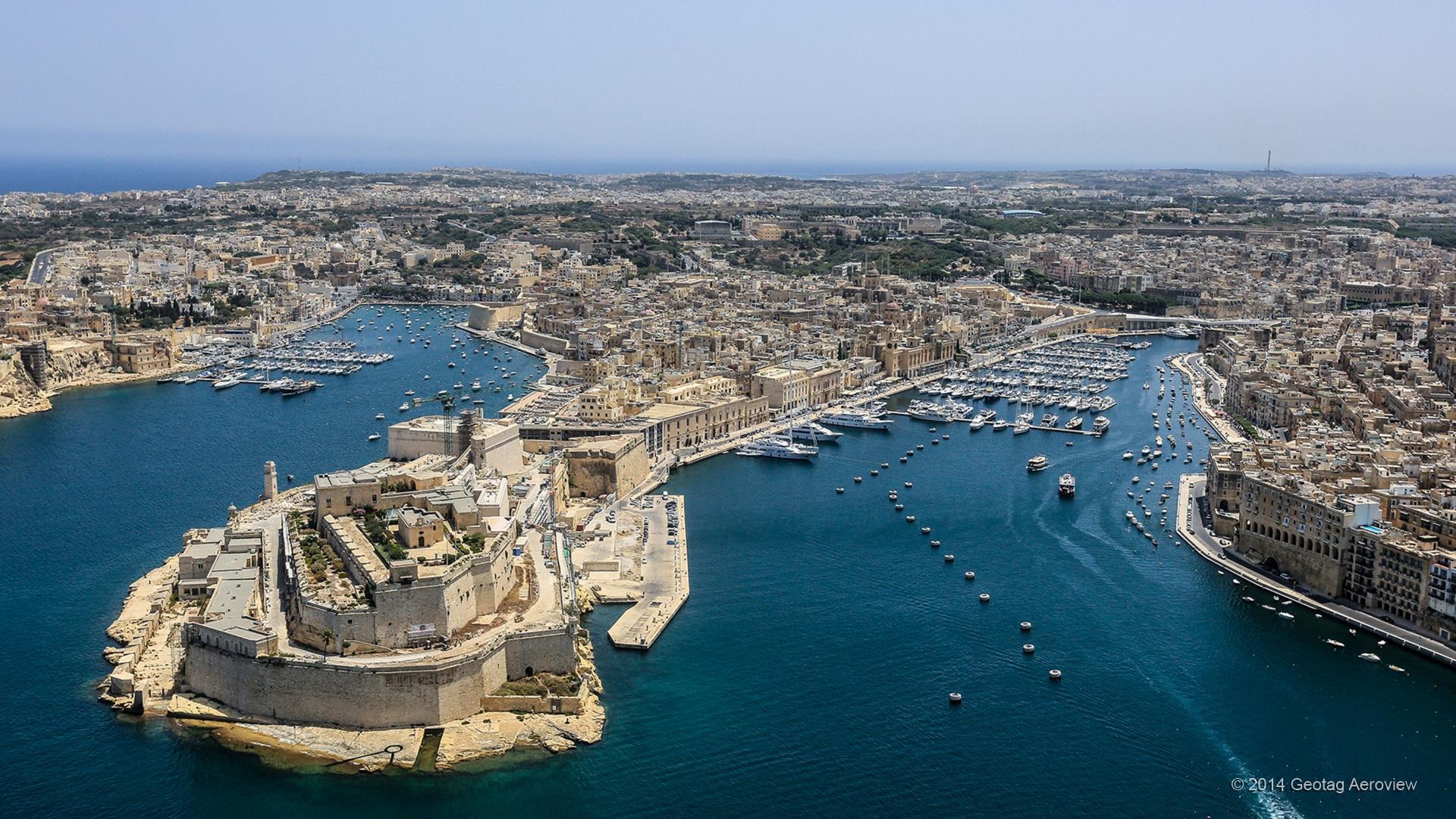
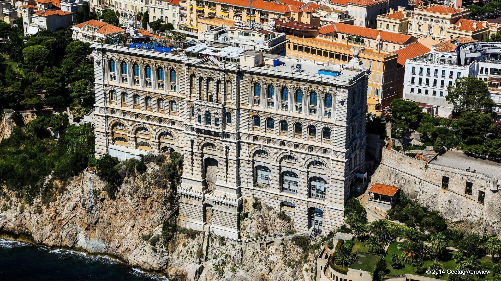
After more than three years of research, planning, shooting and implementation, today Geotag Aeroview owns a rich amount of visual material that covers more than 40.000 kilometers of the entire Mediterranean coastline, 300 hours high definition aerial (helicopter) video and 800.000 ultra-high resolution aerial photographs. Furthermore, a content layer has been attached in the form of textual structured data that represent entities of tourism interest, such as beaches, ports, marinas, anchorages, landmarks, archaeological sites, etc.
As of today the entire “meter by meter” coastline of Spain, France, Italy, Greece, Turkey, Malta and Monaco has been completed and is available in many different formats and in variety business forms and co-operation terms.
